8
Geological site


Saimaa is a treasure of eastern Finland, known for its beautiful landscapes, lively towns and idyllic church villages. The Saimaa UNESCO Global Geopark brings together Saimaa’s stunning natural sites, delightful hiking trails and historic cultural sites, all of which are well worth experiencing when visiting Taipalsaari. In Taipalsaari you will find a total of 10 different Geopark sites, each one more unique than the last.
Ilkonsaari, a rocky island in the middle of the open waters of Lake Saimaa, is also known as ’Skiittasaari’ due to its Orthodox chapels (tsasounas). The exposed rock formations of Ilkonsaari represent several different types of rocks, such as granodiorite, fault breccia, tonalite, and granite. The island’s area also features a rare 300-meter-long underwater sandbank, which can be admired from the nearby rocky shores.
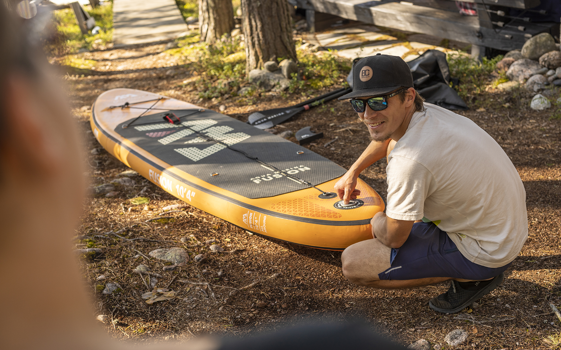
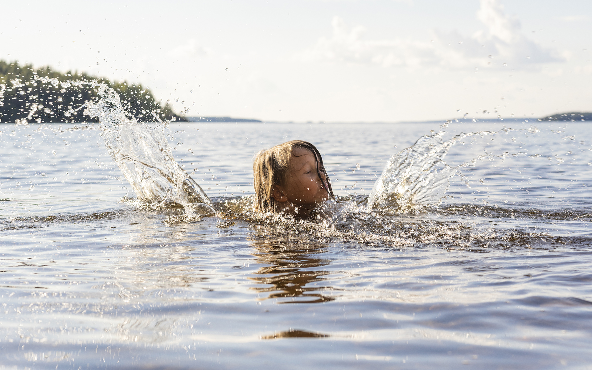
The island has two recreational harbors, nature trails, and excellent opportunities for day or overnight hiking. The sandy swimming beaches offer great conditions for swimming alongside hiking and boating activities.
Saareen pääset omalla veneellä tai meloen.
Päihäniemi is a popular recreational destination that can be accessed by both land and water. The area belongs to a fragmented terminal moraine zone, formed between the First and Second Salpausselkä ridges. In Päihäniemi, you can also explore the trenches of the Salpa Line, which are part of the area’s historical heritage.
The area features well-developed hiking facilities, a swimming beach, and a nature trail that is approximately 3 km long.
Kyläniemi is about a 14 km long section of the Second Salpausselkä terminal moraine, which was formed 11,800 to 11,600 years ago. Kyläniemi consists of wide deltas, made up of sand and gravel deposited in front of the glacier, as well as narrower and rockier terminal moraine ridges. The area also features representative shoreline formations from the times of the Baltic Ice Lake, the Saimaa Ice Lake, and the Large Saimaa. In addition, rare steppe plants now grow on the sandy slopes of Kyläniemi, which were the first species to arrive in the area after the Ice Age.
At the tip of Kyläniemi lies Rastinniemi, a stunning recreational area and part of the impressive terminal moraine of the Second Salpausselkä. The area features shoreline markings formed at various heights and times, as well as numerous shore cliffs and ridges formed during the Large Saimaa period. At the tip of Rastinniemi, there is a striking erosion cliff, which rises up to 20 meters high.
Rastinniemi is known as one of the most beautiful hiking destinations in the Saimaa region, and the area has well-developed hiking facilities. You can reach Rastinniemi from the Ruokolahti direction by road, which includes a ferry crossing. Cars must be left at the parking area. Additionally, the M/S Rasti bike ferry, which operates on the Saimaa Archipelago Route, transports cyclists and hikers from Sarviniemi in Taipalsaari to Kyläniemi Harbor, just 4 kilometers away from Rastinniemi. Boaters can land on the rocky shoreline, but there is no dock at the site.
Suuri and Pieni Sarviniemi are water-surrounded terminal moraine ridges of the Second Salpausselkä, formed as a result of temporary pauses of the melting continental glacier 11,800 to 11,600 years ago. Both ridges extend underwater across Rastinvirta, which is visible in elevation models. As the waves have eroded the ridges formed by the Sarviniemi, particularly during the Large Saimaa phase, the blockiness of the deposited materials is accentuated on the peninsulas. On the northern shore of Suuri Sarviniemi, a comprehensive collection of the area’s characteristic rock types, such as granite and gneiss, can be seen.
Sarviniemi offers great opportunities for both hiking and boating. The area has hiking shelters connected by accessible footbridges. There is also an accessible toilet near the hiking shelters. The site includes campfire spots with firewood, a swimming beach, and swimming huts. From the accessible trail and viewing platform at the end of Suuri Sarviniemi, visitors can enjoy magnificent views over the large open waters of Lake Saimaa.
Sarviniemi is an excellent destination for day trips, but overnight stays in the area are prohibited.
The beautiful sandy beaches and clear waters of Ruuhonsaari invite you to stop along the ferry route between Lappeenranta and Puumala. The sheltered lagoon of Taka-Ruuhonsaari also offers dock space for larger boats. The shape of the lagoon resembles that of an ancient ice mass. Ruuhonsaari includes Taka-Ruuho and Ruuhonpurnu, which consist of a north-west to south-east-oriented core ridge and the delta formation that has accumulated at its southeastern end. The delta’s layers were shaped by the western Ruuhonpurnu rock hill and the ice mass that once filled the Taka-Ruuhonsaaren Bay to the east, which is now reflected in the steep-sided depression of the lagoon-like water area.
A distinctive log sauna located by the shore stands out due to its green roof vegetation and complements the islands’ unique hiking atmosphere.
You can reach Ruuhonsaari by boat, by kayaking, or via the M/S Rasti bike ferry (tickets must be purchased in advance)
Kuivaketvele’s Linnavuori is an Iron Age fortification and defensive site where people sought refuge when threatened by enemies. Researchers consider ancient hill forts to be a mysterious group of archaeological sites because there is little research data available about them. From the top of Linnavuori, there is a beautiful view of Lake Saimaa. Stairs have been built to the steepest areas. Kuivaketvele’s Linnavuori is about 600 meters long, 80-100 meters wide, and at its highest point, it reaches 20 meters in height, with a bedrock core made of rapakivi granite, surrounded by steep cliffs and, in some places, terraced slopes.
The distance from the center of Taipalsaari to Kuivaketvele’s Linnavuori is approximately 6.5 km, making it an ideal spot to visit by bike. The site is located along the Saimaa Archipelago Route. There is a viewing platform at the site, but no other hiking facilities.
At the eastern end of the Saimaanharju settlement area in Taipalsaari, there is a Stone Age burial site, which is currently the only one of its kind in South Karelia. To the south of the municipal center of Taipalsaari, there is a glacial river sediment formation known as Saimaanharju, which is part of the fragmented terminal moraine zone between the Salpausselkä ridges.
Next to the Taipalsaari Church, the Röytty Local Heritage House is a historically significant old military service house and inn. This building has been part of the area’s cultural heritage for centuries, offering visitors a unique glimpse into the past. Röytty is believed to have been built at the end of the 17th century by the men of Taipalsaari, Savitaipale, and Joutseno. Today, Röytty operates as a museum, café, shop, and event venue, mainly during the summer season and around Christmas.
Taipalsaaren wooden church is a nationally significant cultural environment. The frame of the cross-shaped wooden church in Taipalsaari was built in 1754.”
The Taipalsaari wooden church is an important part of Finland’s cultural heritage, with a rich history dating back to the mid-18th century. Its cross-shaped structure is a distinctive feature, and the church stands as a key historical and architectural site in the region.
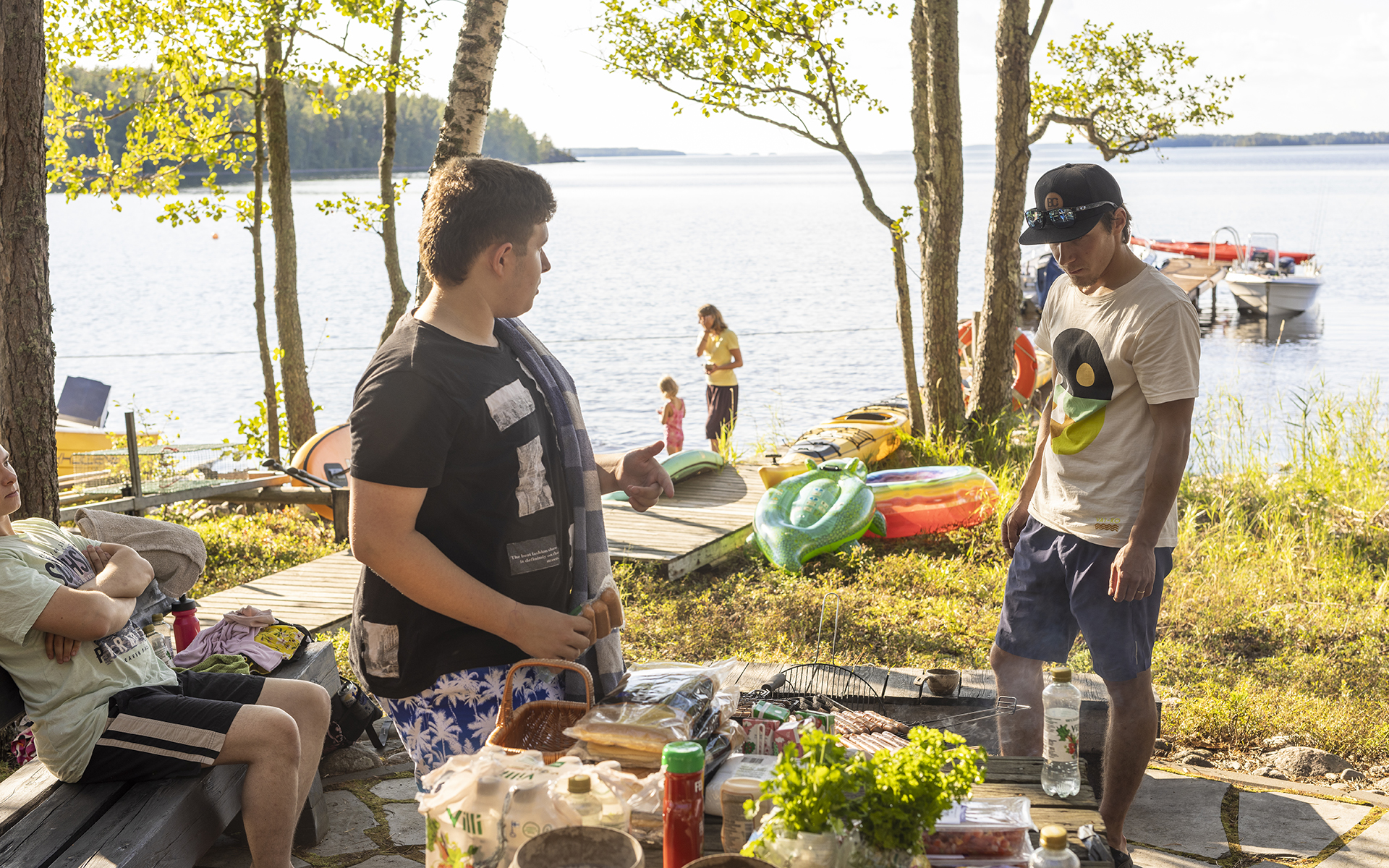
Plan a picnic in the peace of nature and enjoy a relaxing moment by the fire. In Taipalsaari you will find a variety of municipal and private campsites.